June 20, 2020 - FunFly to Cape May, NJ
|
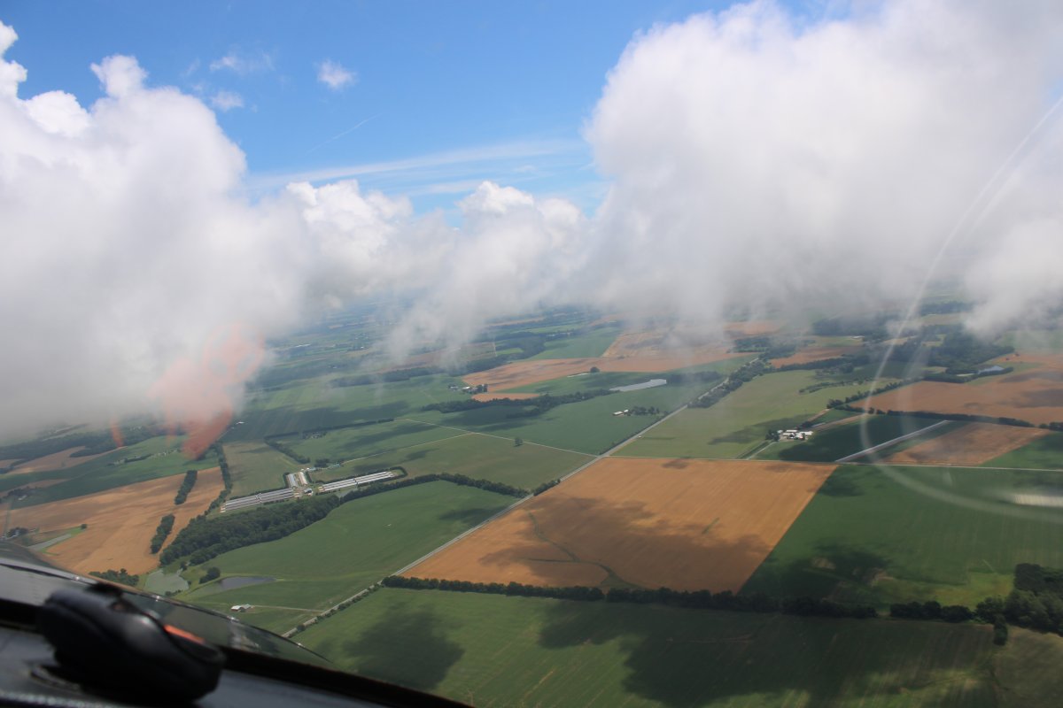
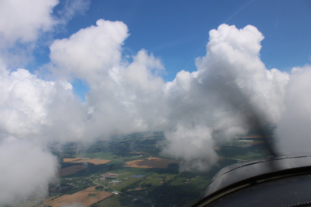
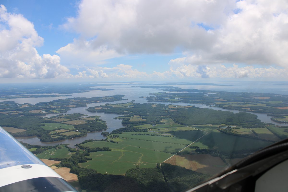
| There was a low ceiling this Saturday morning but it was supposed to burn off before noon. I caught it just right over the eastern shore with a broken layer at 2,000 feet or so. It's very unusual to have cumulous clouds like this so low. It was a perfect day flying wise: great visibility, blue skies, light winds, smooth air. It was absolutely beautiful over the eastern shore with blue skies, white clouds and green fields. I have rarely seen it this good in all my years of flying over the eastern shore. |
| |
 |
|
|
The pictures speak for themselves.
|
| |
 |
|
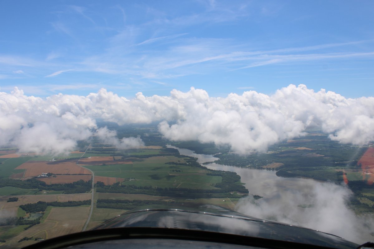
| With some Chester River thrown in. |
| |
 |
|
|
I was headed east to cross the Delaware River and fly the marshes of South Jersey to Cape May and back.
|
| |
 |
|
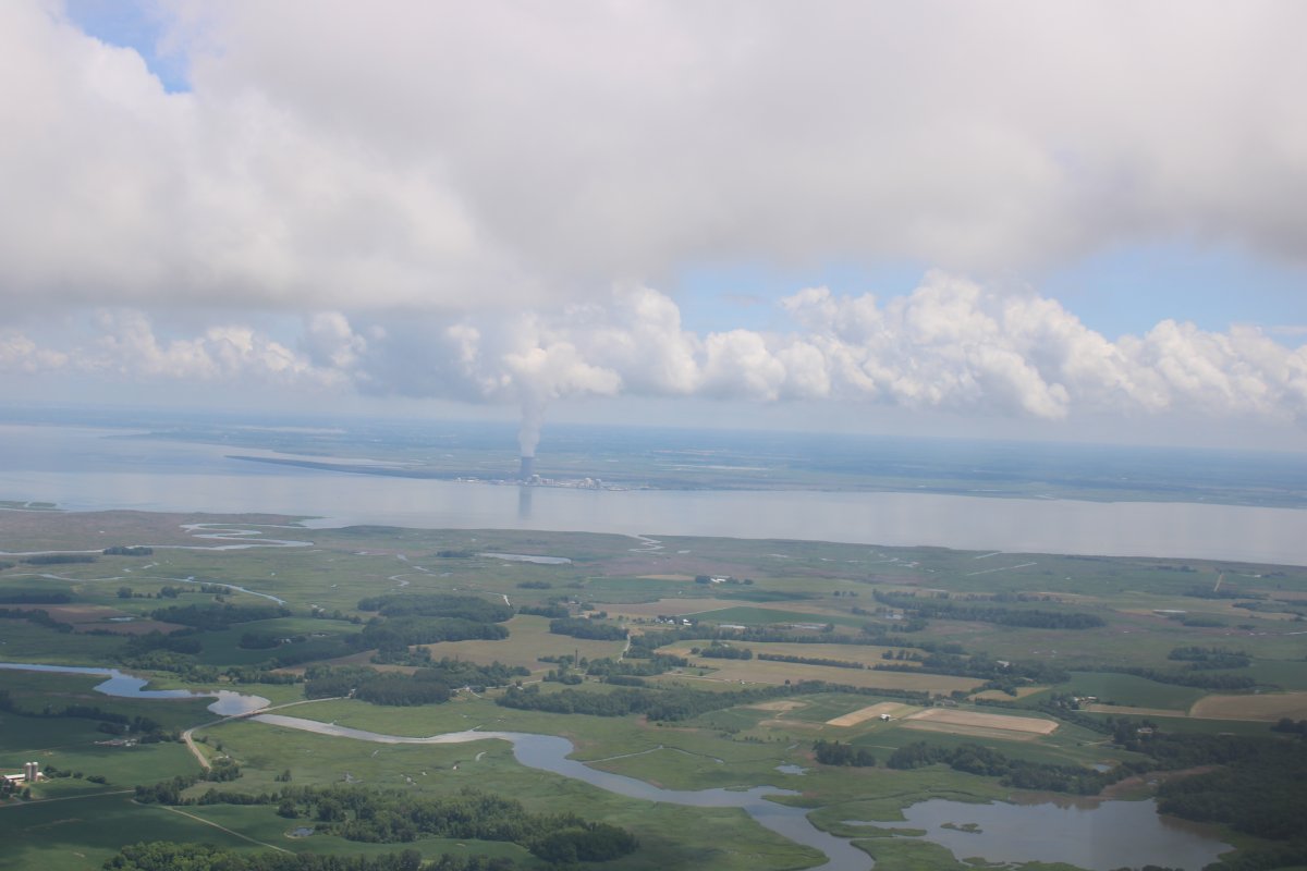
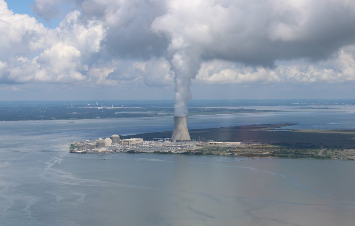
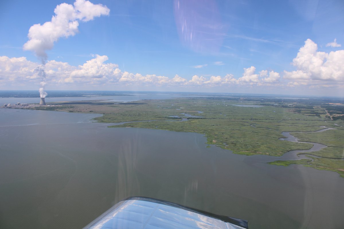
| Heading just to the right of the Hope Creek Nuclear Power Plant. |
| |
 |
|
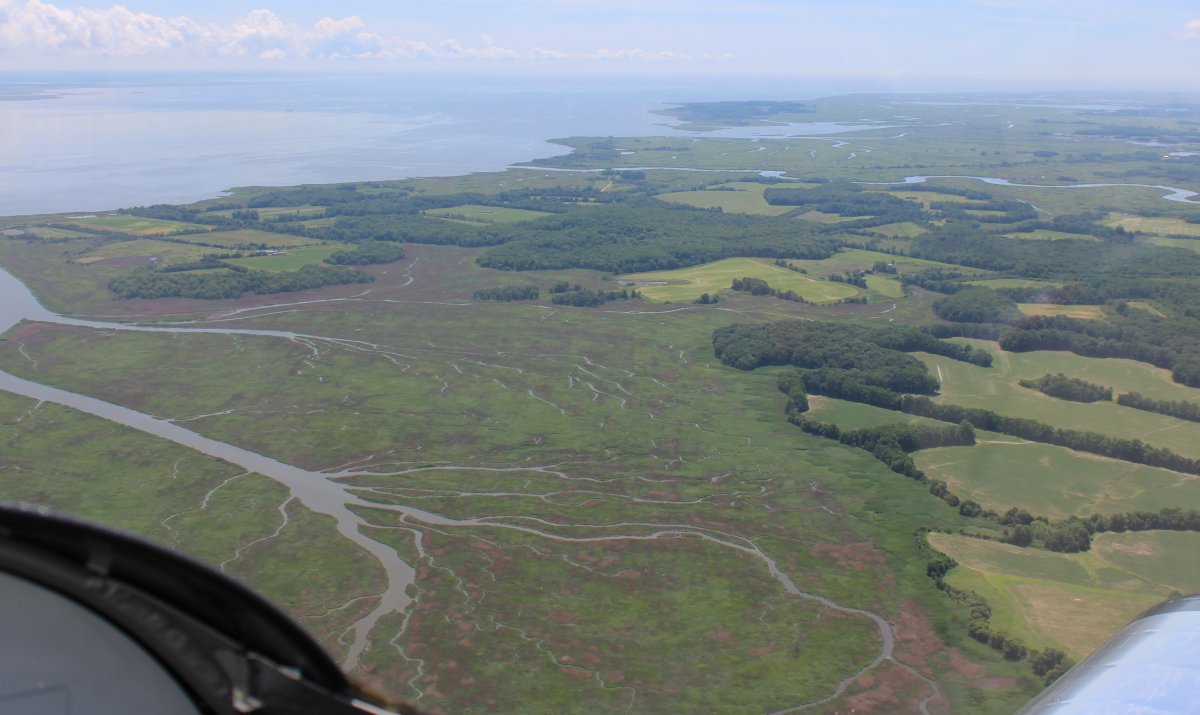
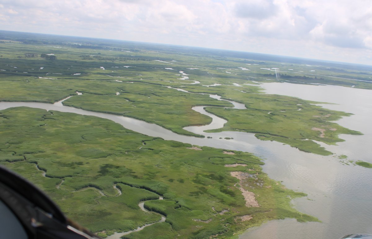
| There is some interesting marsh areas on this side of the Delaware River too. |
| |
 |
|
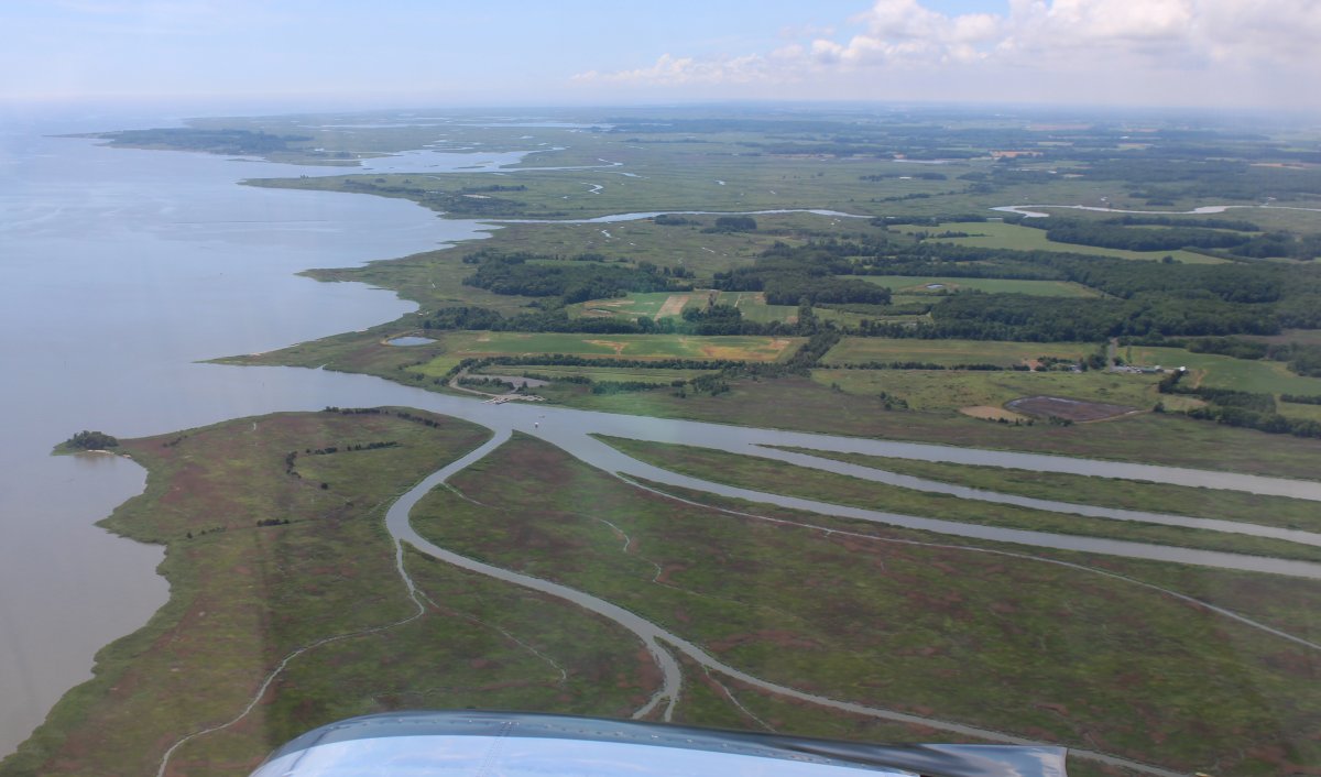
| Looking south at the marshes on the west side of the Delaware River. |
| |
 |
|
|
An interesting picture.
|
| |
 |
|
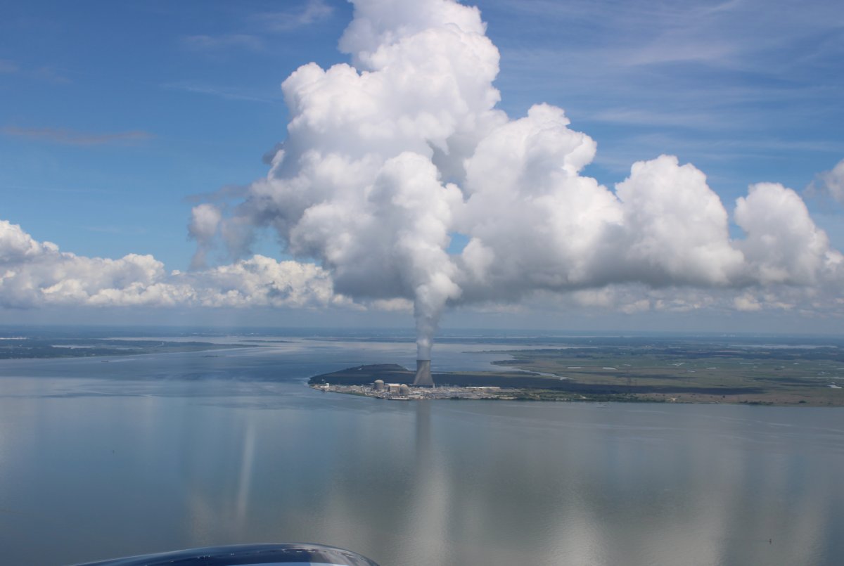
| Blowing some smoke! |
| |
 |
|
|
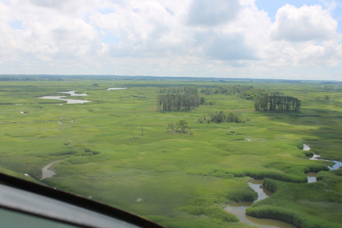
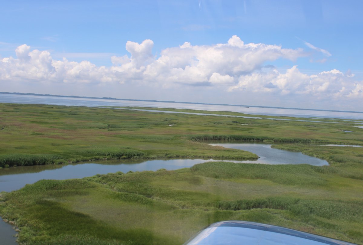
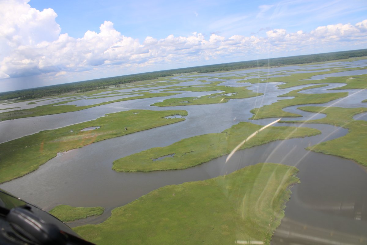
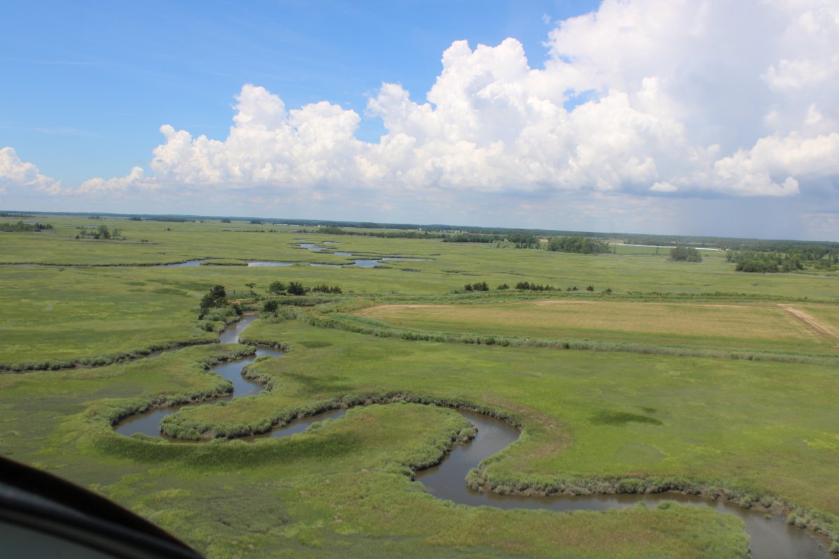
Then I turned southeast. I was stunned by how green the marshes were.
|
| |
 |
|
| It was like flying over a green velvet blanket. |
| |
 |
|
| |
| |
 |
|
| |
| |
 |
|
|
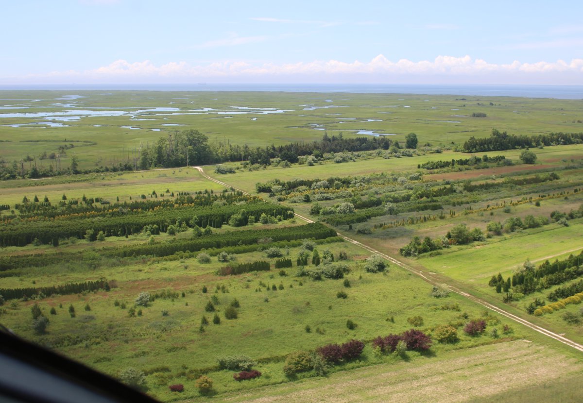
Suddenly I was over a cultivated area; maybe a specialty tree/bush farm?
|
| |
 |
|
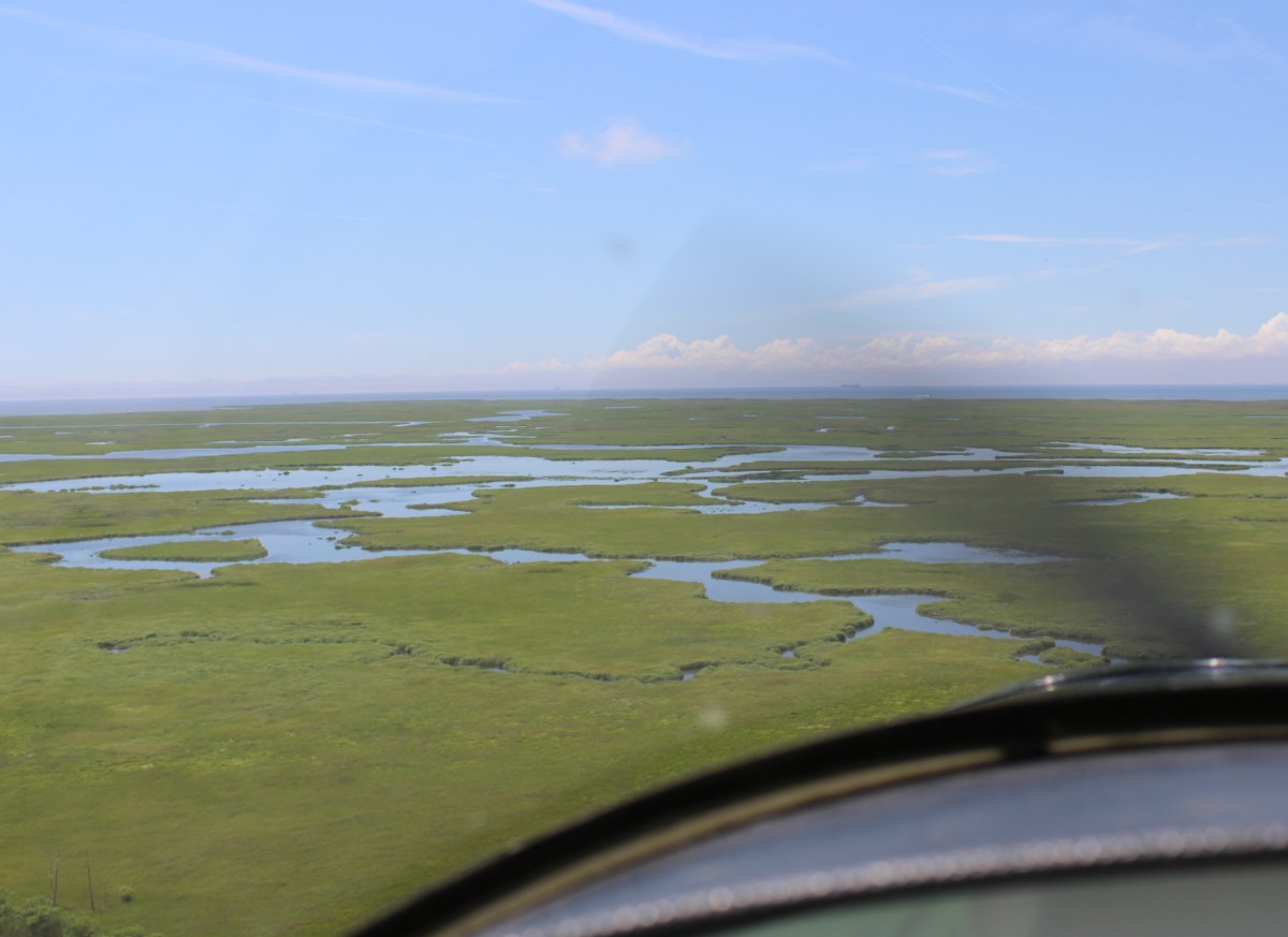
| A kayaker's dream; but I didn't see a single kayak. |
| |
 |
|
|
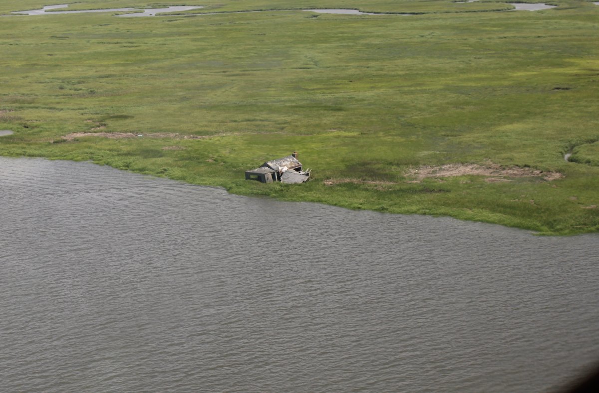
A shack out in the middle of nowhere.
|
| |
 |
|
| An old abandoned house. |
| |
 |
|
| This is Nantuxent Creek. I think. |
| |
 |
|
| Checking out Gandy's Beach. |
| |
 |
|
|
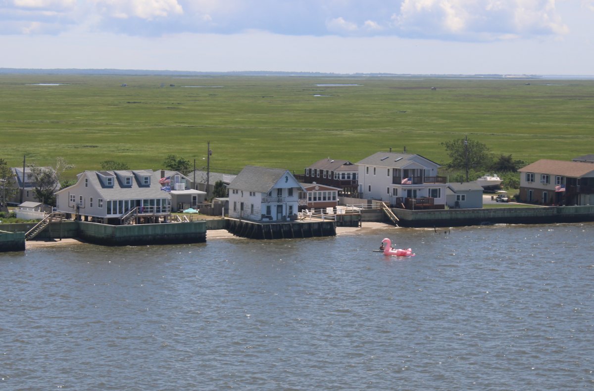
A giant flamingo!
|
| |
 |
|
| |
| |
 |
|
|
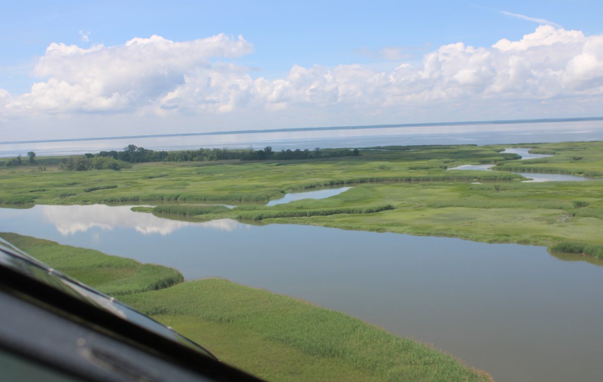
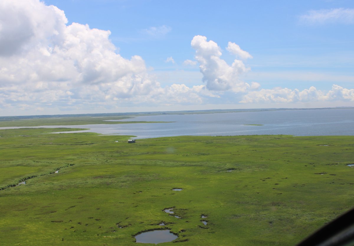
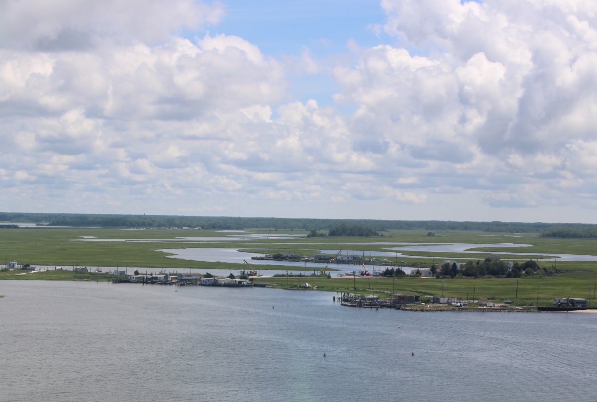
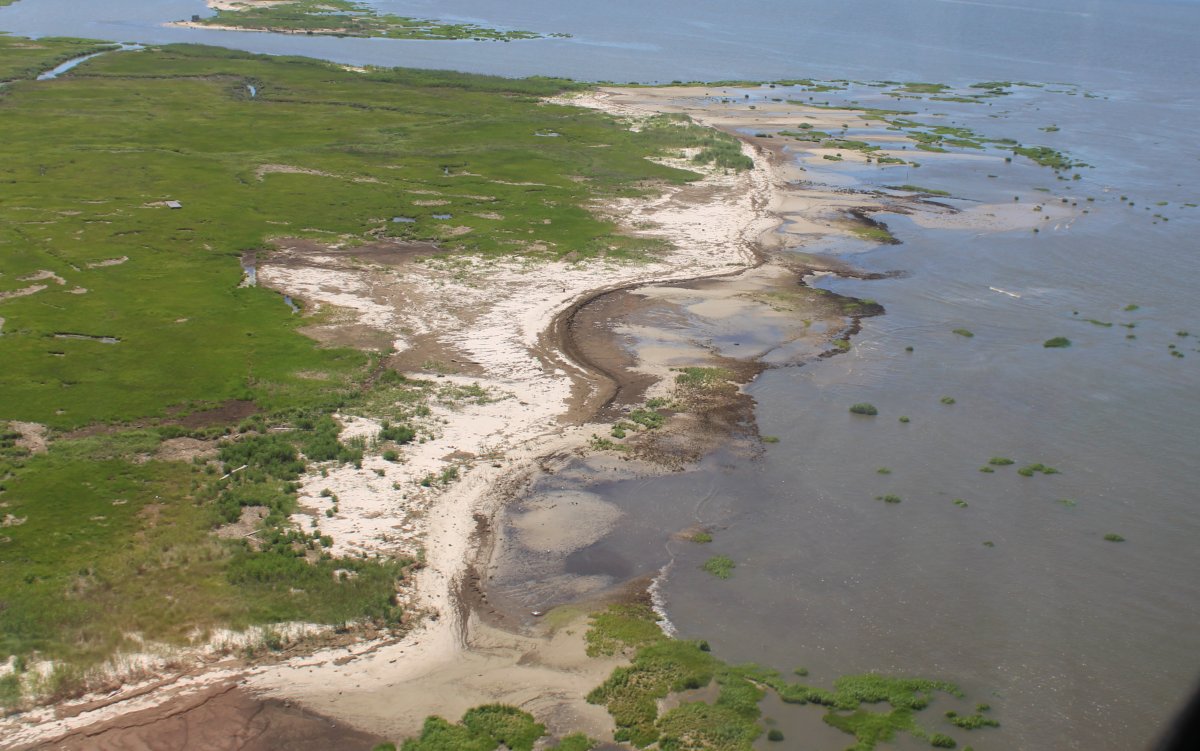
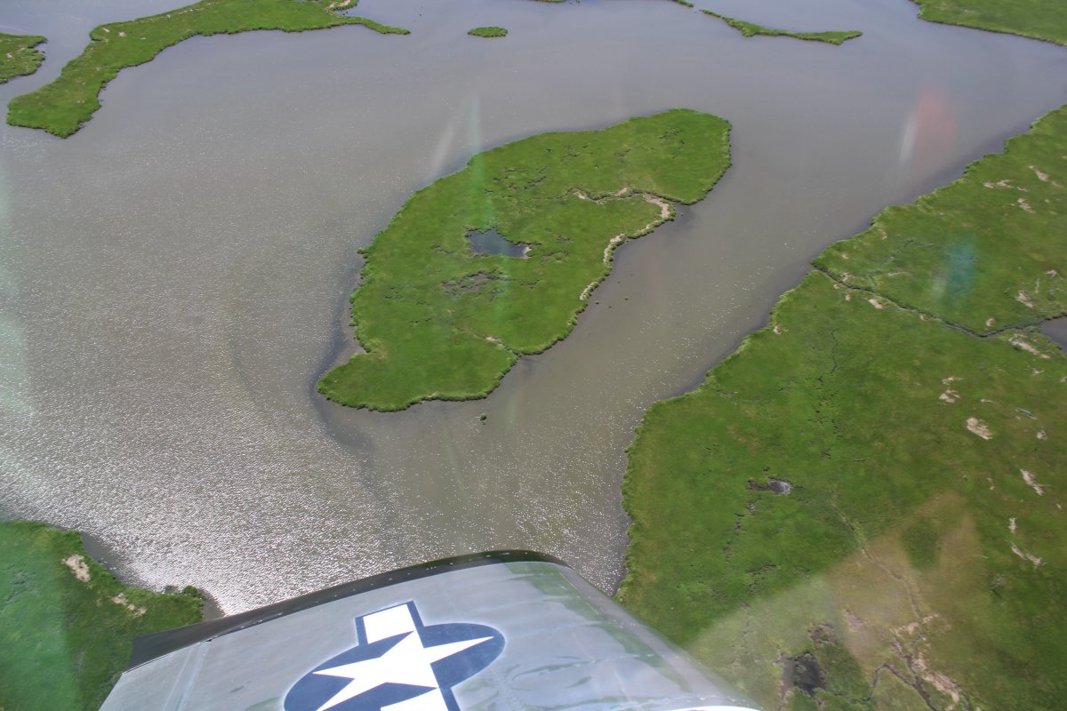
It's very pretty where marsh meets water.
|
| |
 |
|
| I say again. |
| |
 |
|
|
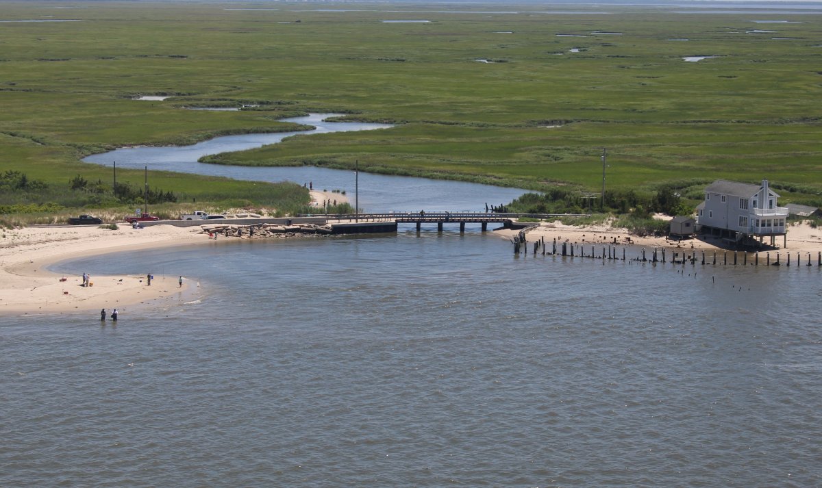
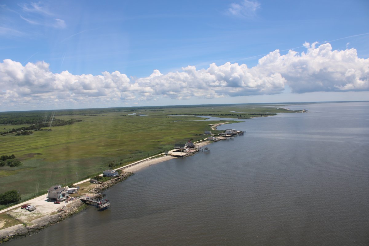
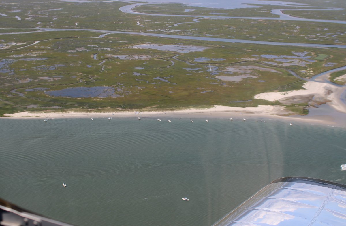
Fortescue Beach. I think.
|
| |
 |
|
| |
| |
 |
|
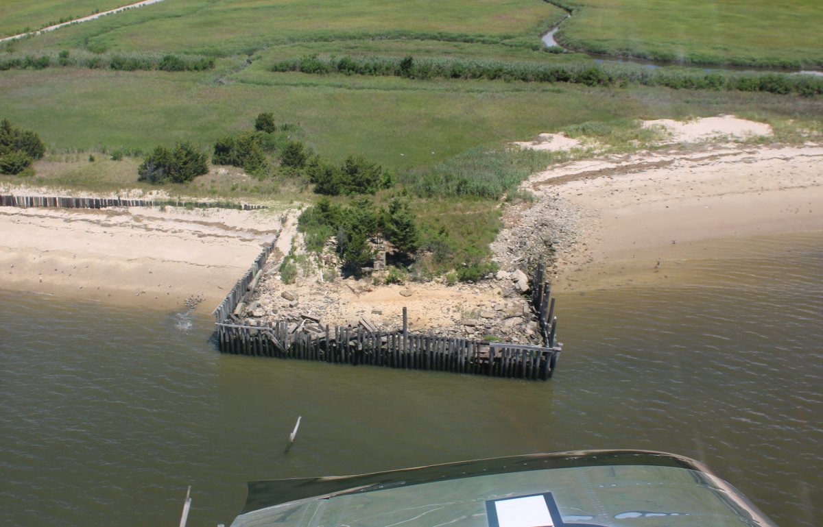
| There is a duck blind in that tree grove on this artificial square promentory. |
| |
 |
|
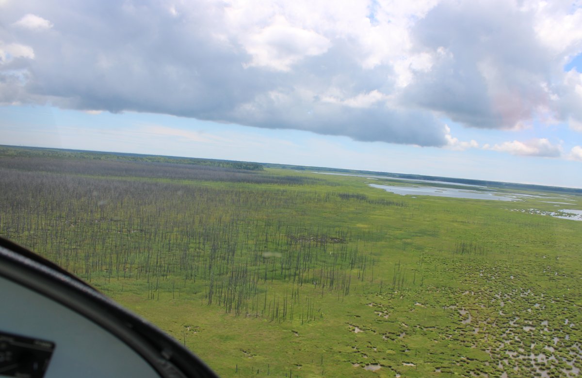
| A sea of sticks on the left. |
| |
 |
|
|
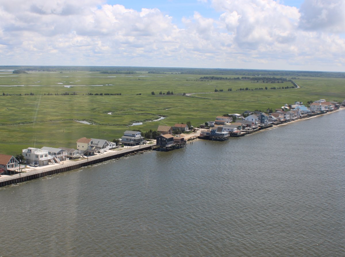
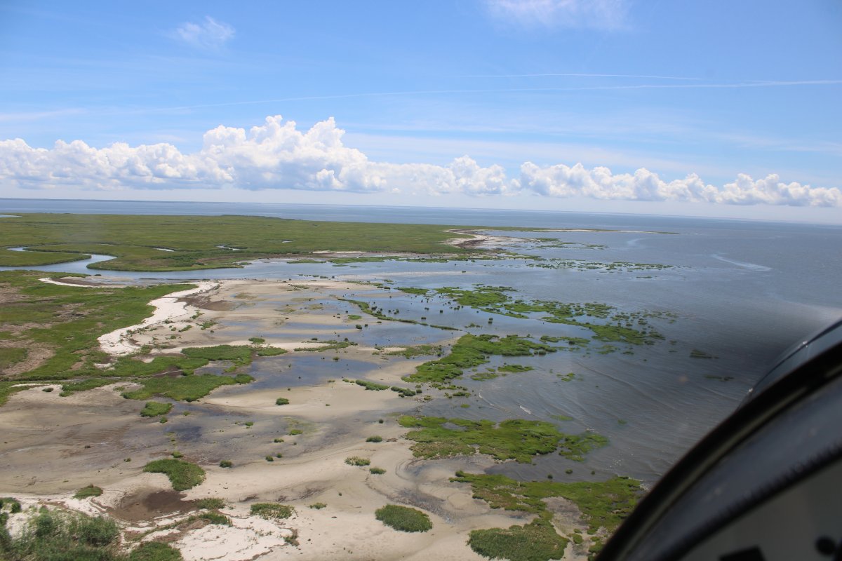
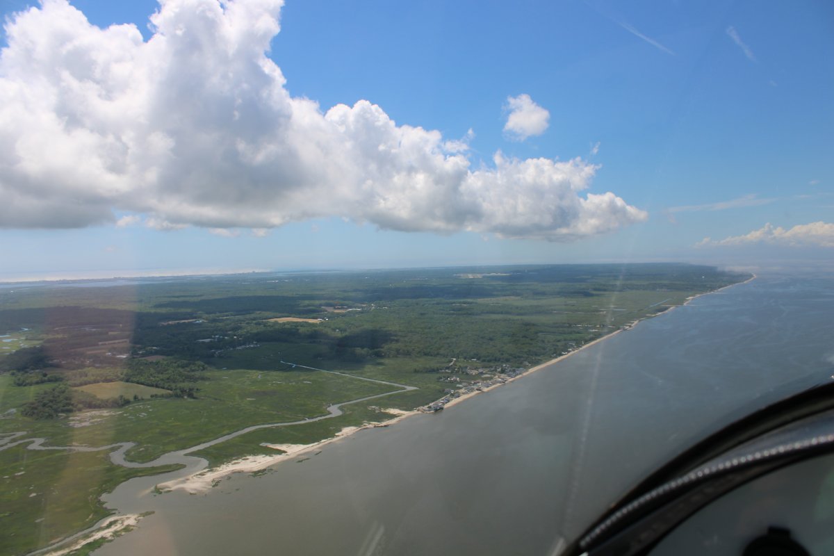
The marsh turns to forest as I approach Cape May.
|
| |
 |
|
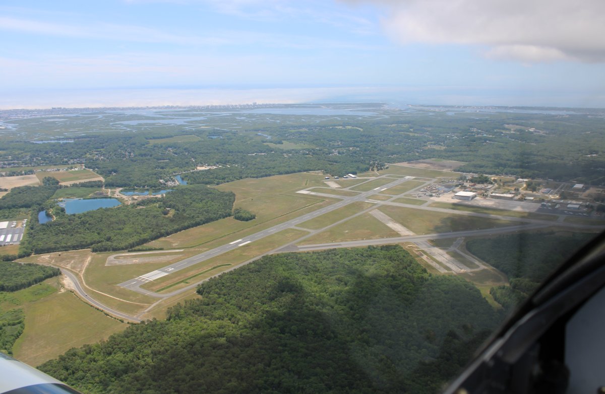
| And there is Cape May County Airport -- formerly Wildwood Naval Air Station. |
| |
 |
|
|
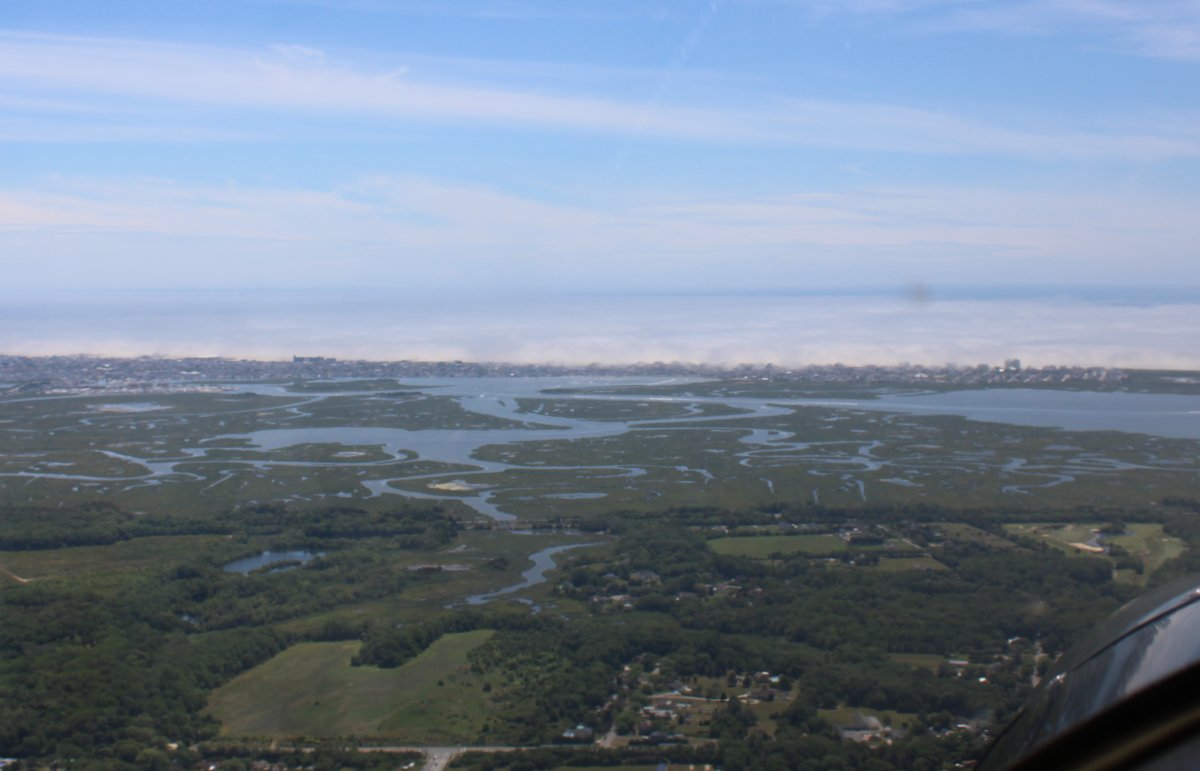
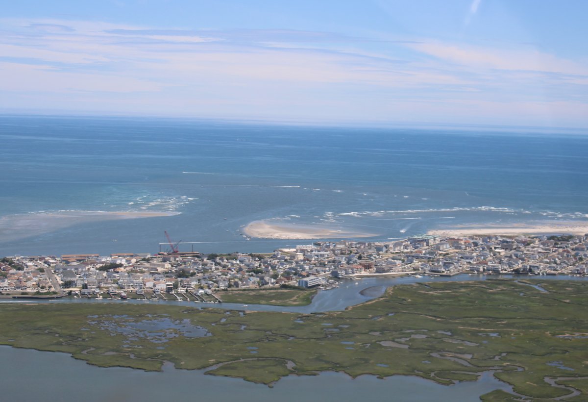
Looking east the low-level fog is still hugging the ocean beach.
|
| |
 |
|
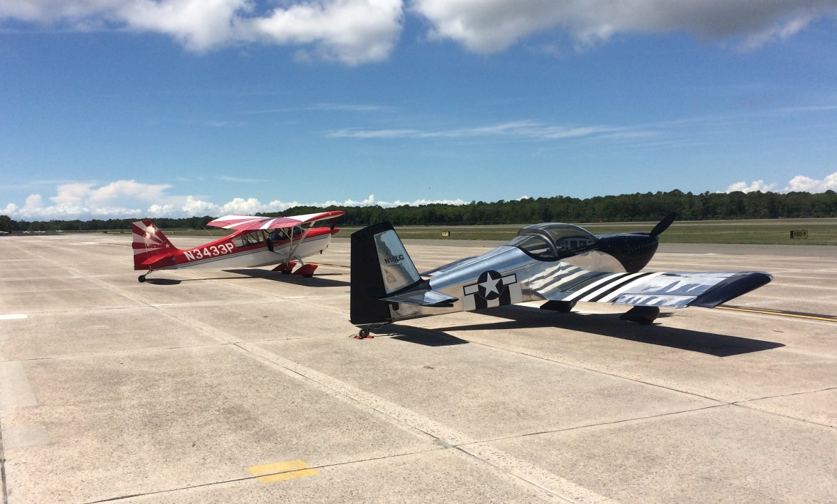
| Parked on the ramp at Cape May Airport next to an old Trunk Monkey friend Mark B. We reminisced for awhile about the good times we had 13 or so years ago flying around in our Citabrias on "All Grass All Day" flights. |
| |
 |
|
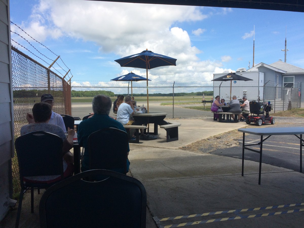
| The Flight Deck Diner was open although all seating was outside. Which wasn't a problem. It was very pleasant outside and most of the tables had shade. I had a GREAT eggs benedict. My compliments to the Flight Deck Diner chef! |
| |
 |
|
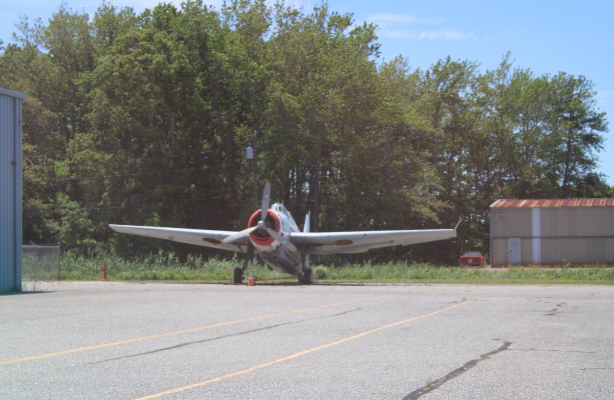
| Time to depart. Taxiing by an old TBM Avenger in fire-fighting colors. |
| |
 |
|
|
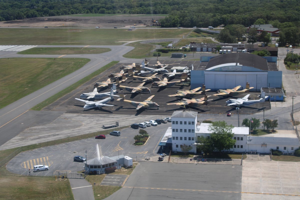
On takeoff, checking out the fleet of Caribou's to the right. Plus you can see the Flight Deck Diner if you know where to look.
|
| |
 |
|
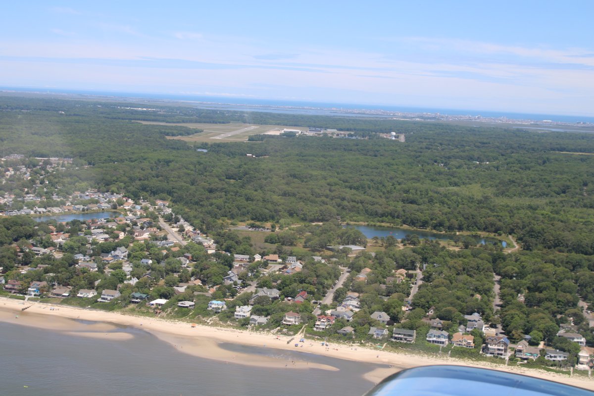
| I decided to check out the Jersey Shore a little. The morning fog burned off while I was eating breakfast. |
| |
 |
|
|
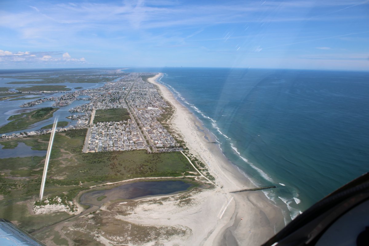
Rounding the bend at Hereford Inlet.
|
| |
 |
|
| Looking north at Stone Harbor. |
| |
 |
|
| Cruising north. |
| |
 |
|
| Turning inland at Townsends Inlet. |
| |
 |
|
|
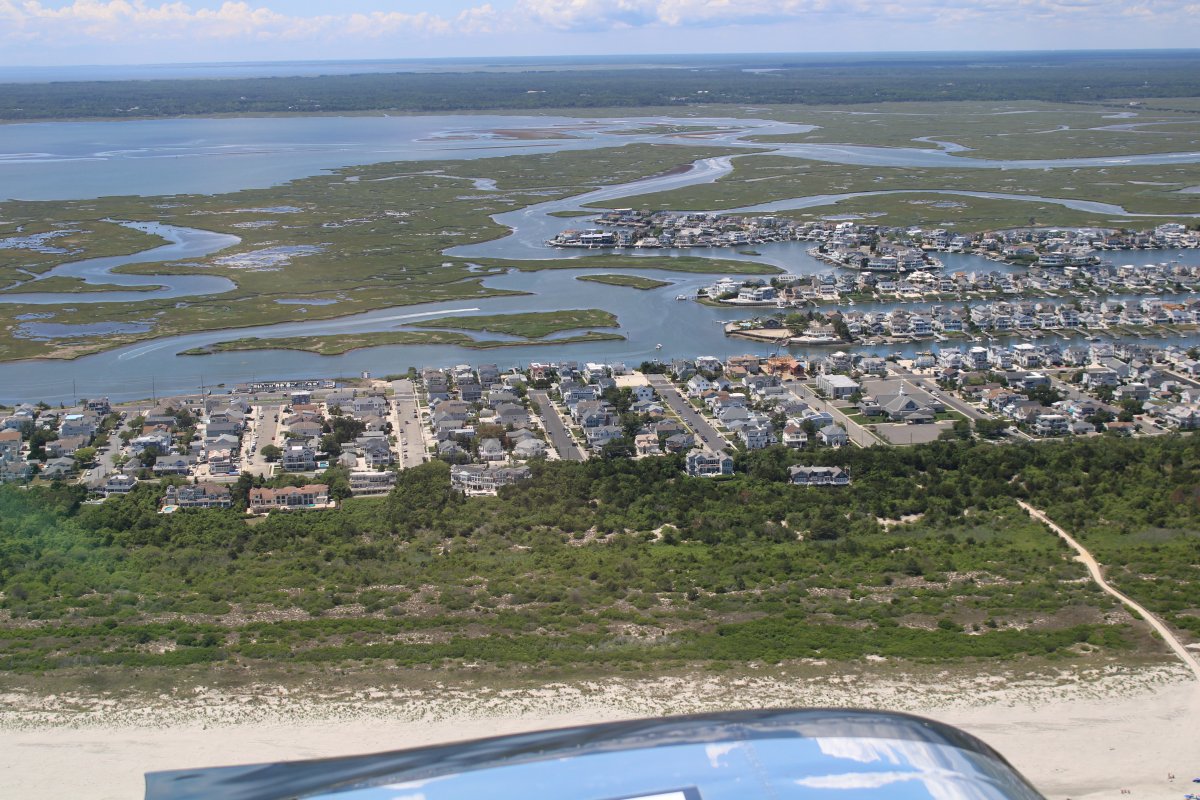
Looking south at the well laid out streets of Avalon.
|
| |
 |
|
| Checking out the Great Sound. |
| |
 |
|
|
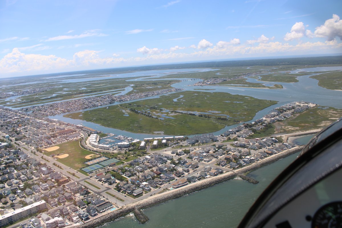
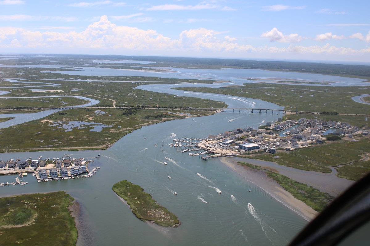
Approaching the Ingram Thorofare Bridge.
|
| |
 |
|
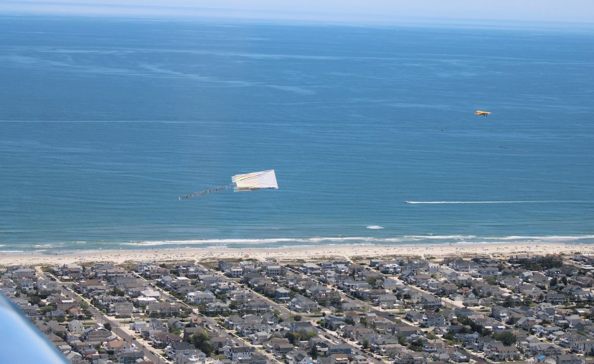
| Passing a banner tower. If you look closely, you can see there is another banner tower just to the lower left of the yellow plane, heading north. |
| |
 |
|
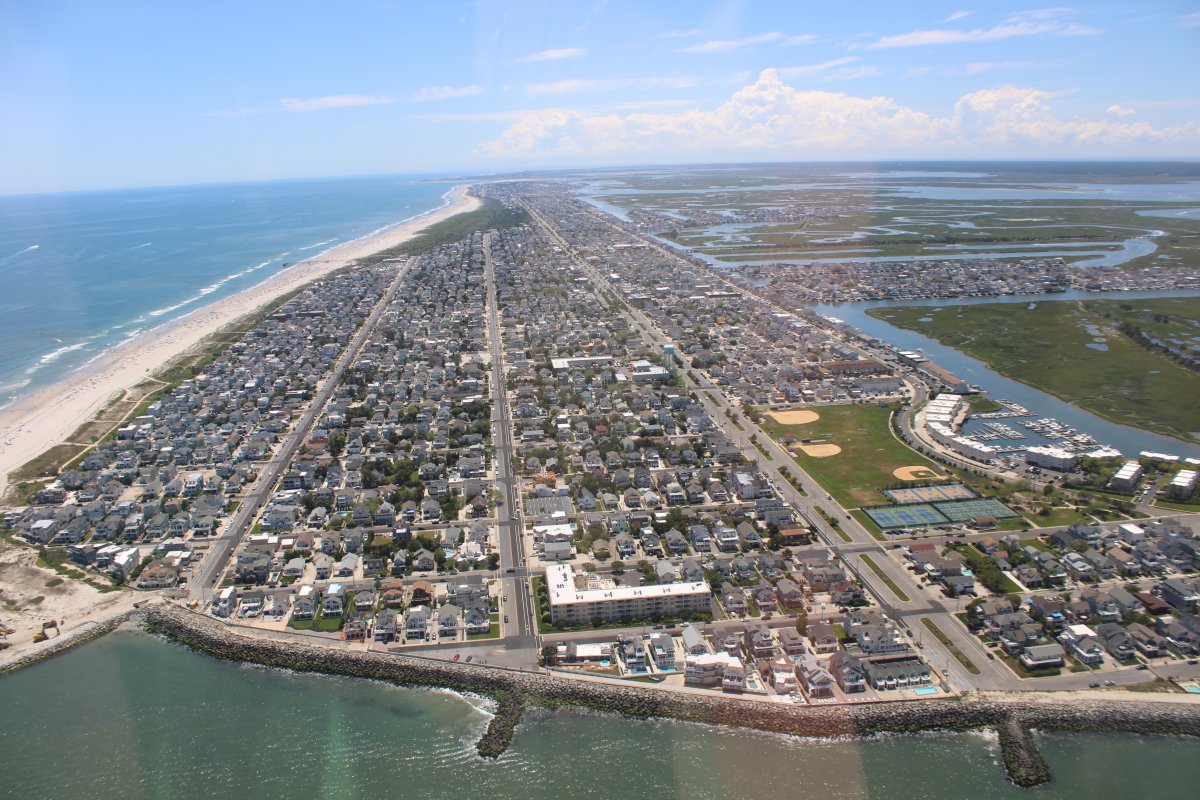
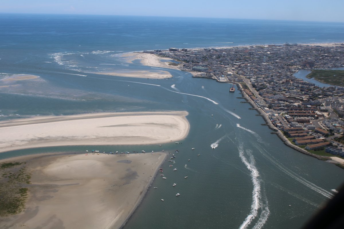
| Approaching North Wildwood again, this time heading south. |
| |
 |
|
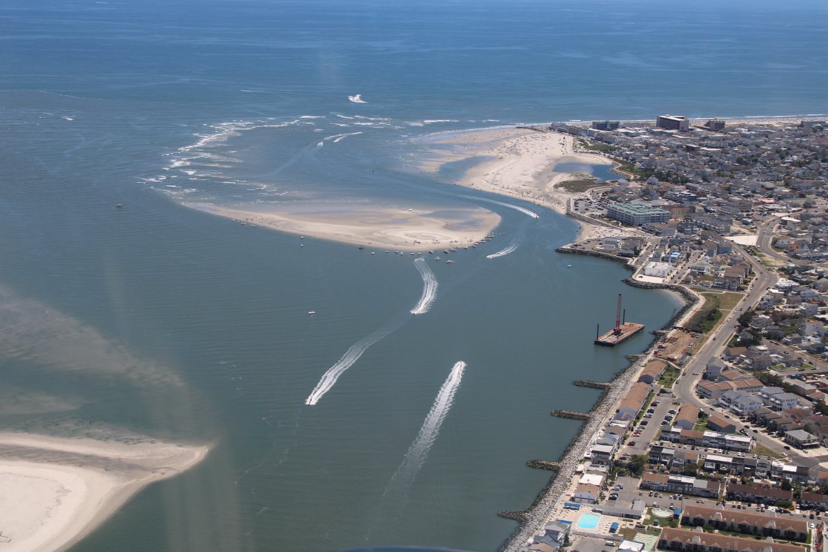
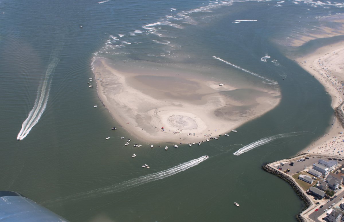
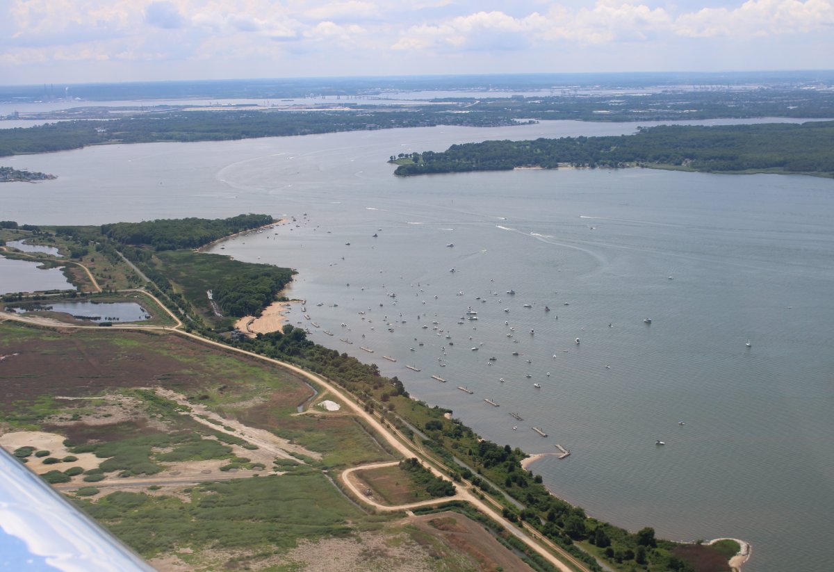
| Lots of boats enjoying the big ocean sandbar. |
| |
 |
|
|
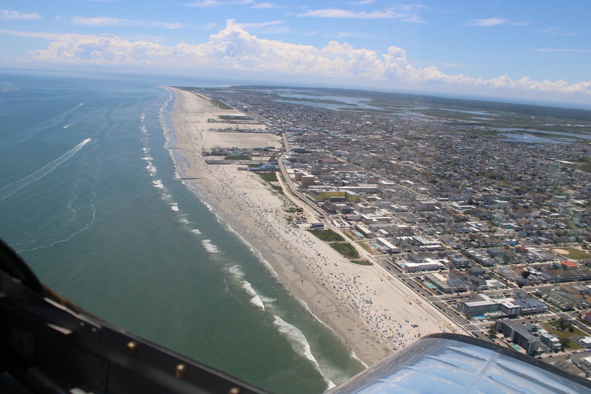
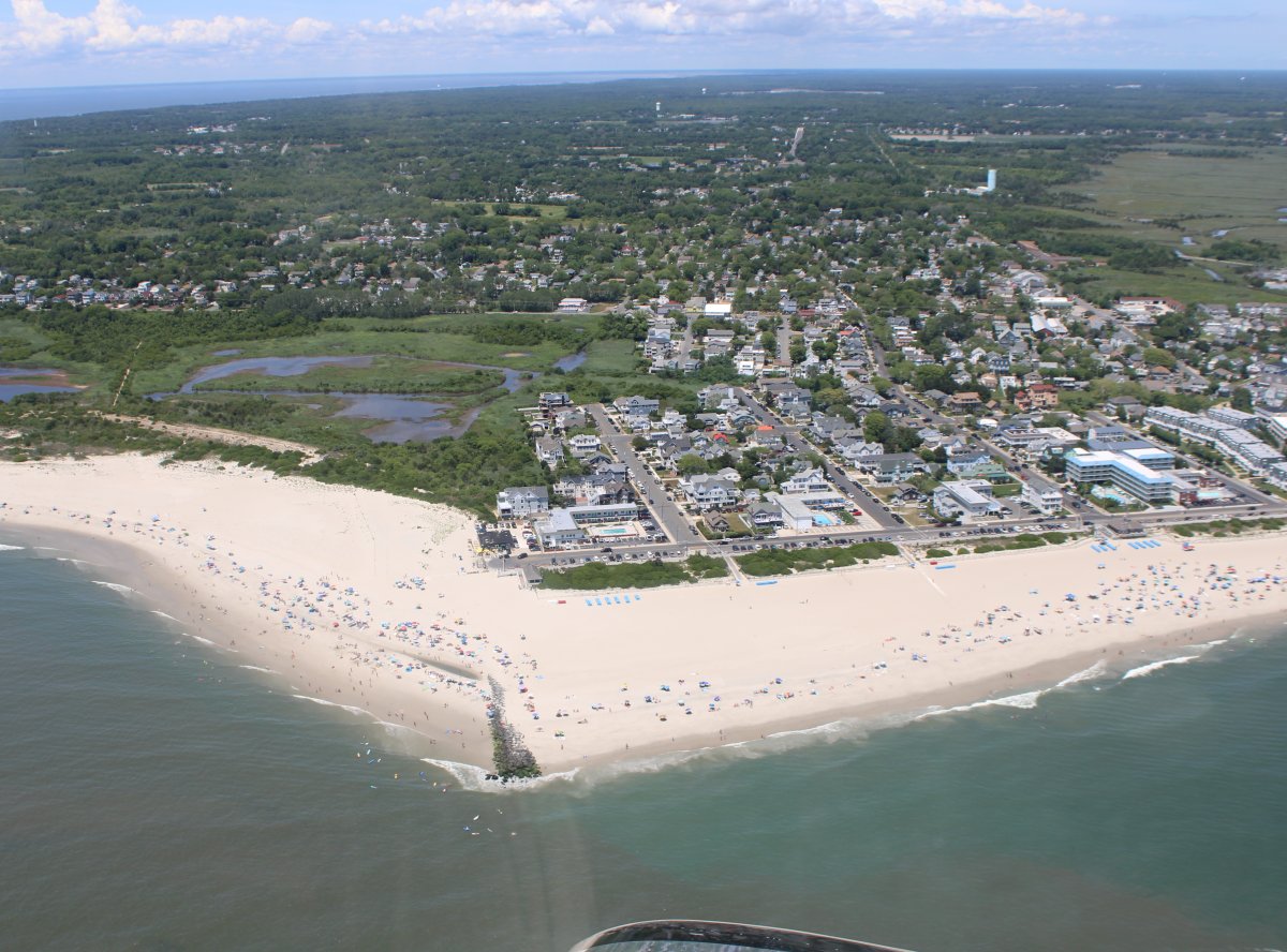
Diamond Beach. Lots of people enjoying the Jersey Shore. Stay at home order? What stay at home order?
|
| |
 |
|
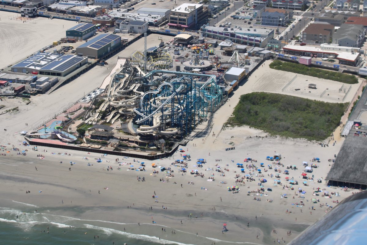
| Raging Waters Water Park is not raging. |
| |
 |
|
|
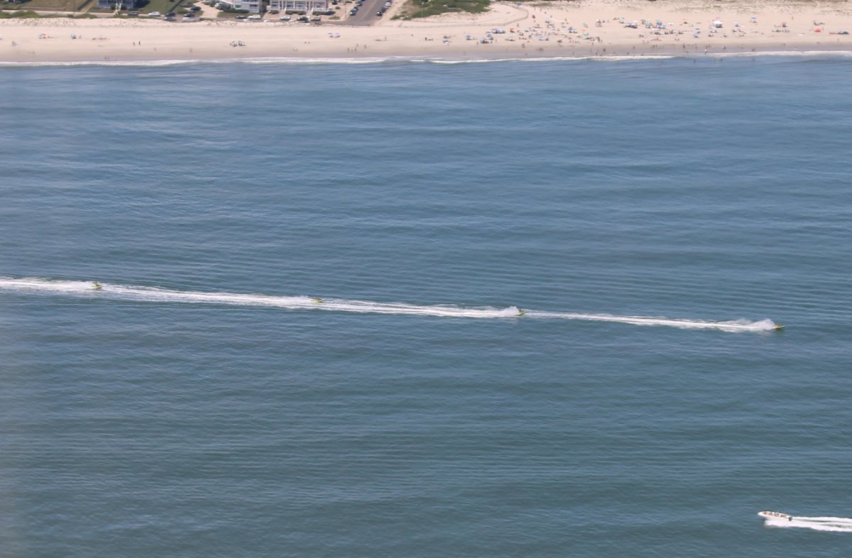
Four jet skis going north. Going north fast.
|
| |
 |
|
| Cape May beach. |
| |
 |
|
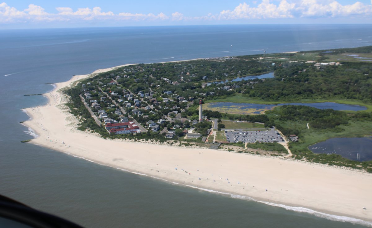
| Rounding Cape May Point with its lighthouse. |
| |
 |
|
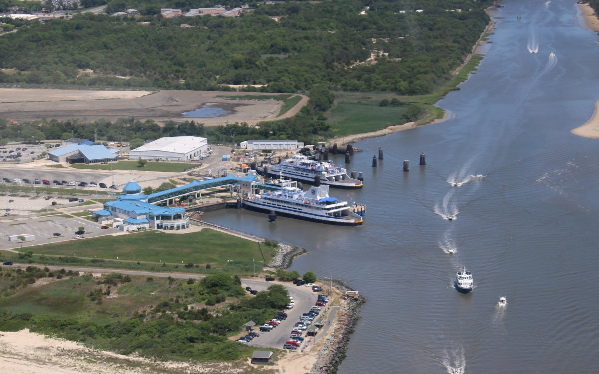
| The Cape May terminus of the Cape May - Lewes Ferry. To the right, the Cape May Canal heads east to the Atlantic Ocean. Why does Cape May have a canal, you ask? Well, Mr. Wikipedia says the three mile canal was constructed by the United States Army Corps of Engineers during World War II to provide a protected route to avoid German U-boats operating off Cape May Point. Who knew? |
| |
 |
|
|
Passing by Cape May to the east.
|
| |
 |
|
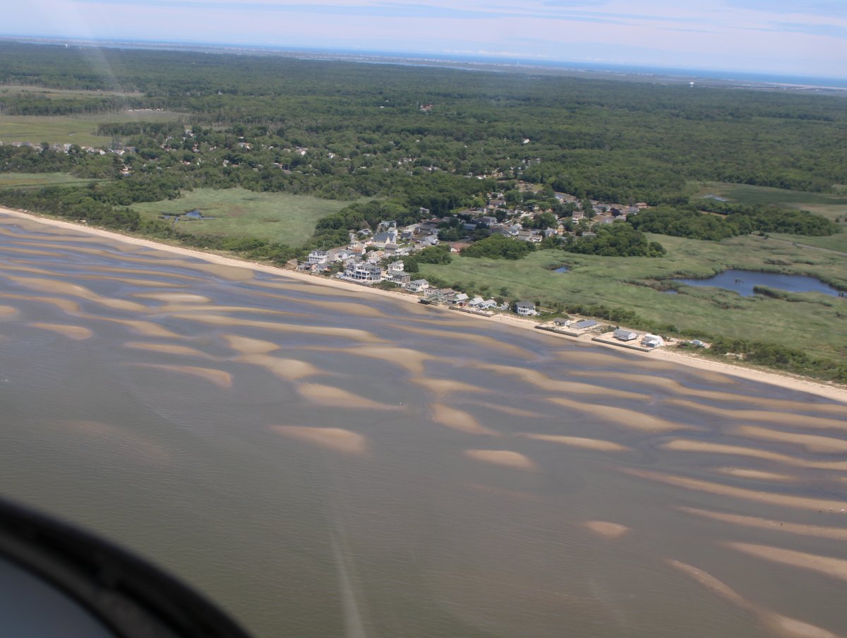
| An interesting pattern of shallow sand beds off the beach. |
| |
 |
|
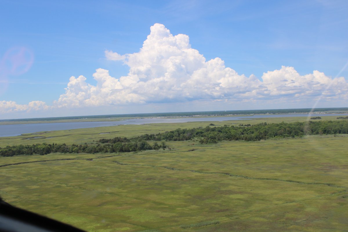
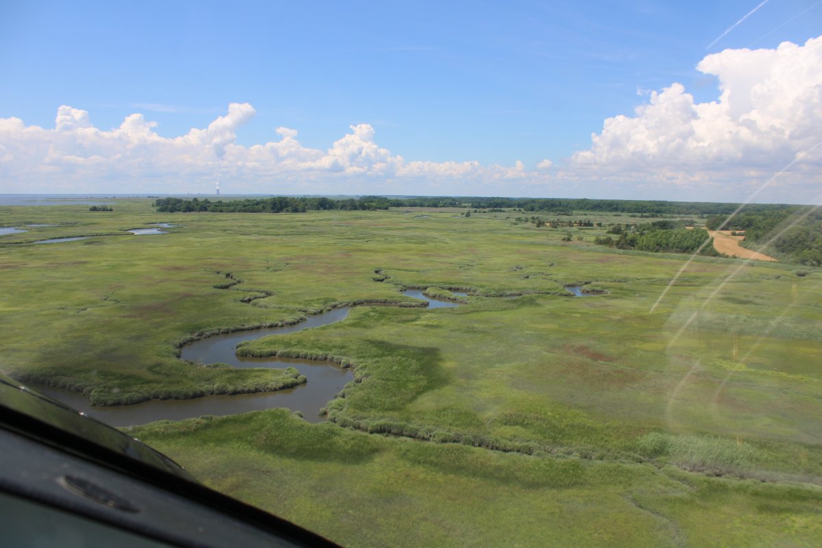
| I retraced my path back up the marshes on the east side of the Delaware River. The cloud formation below was particularly striking. |
| |
 |
|
|
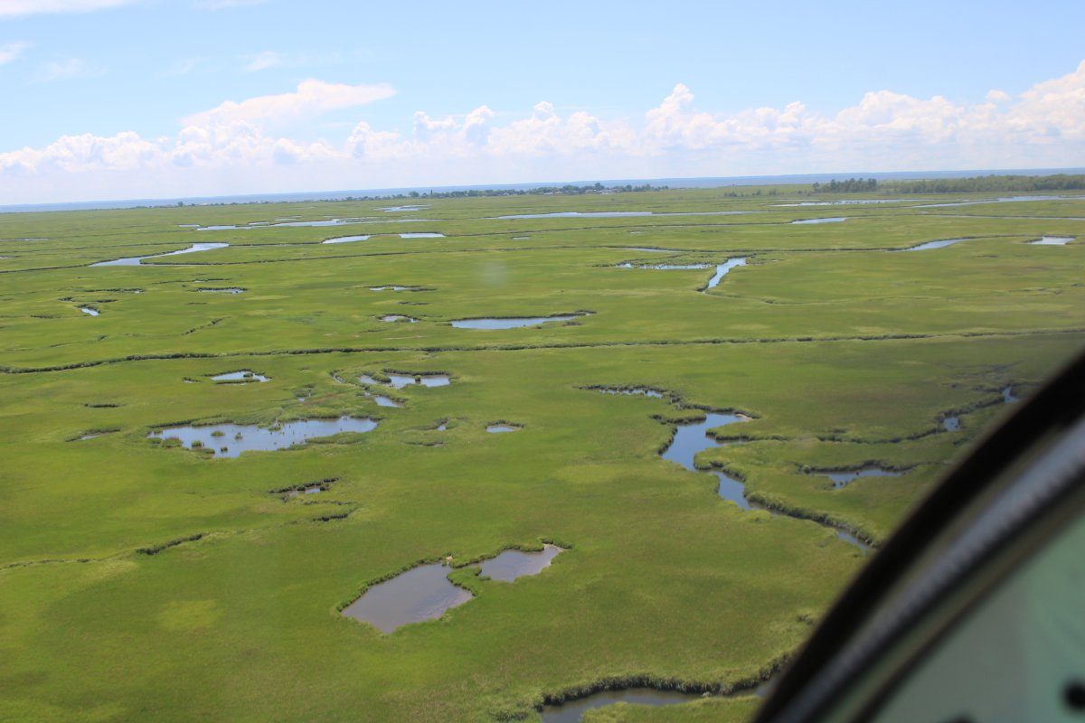
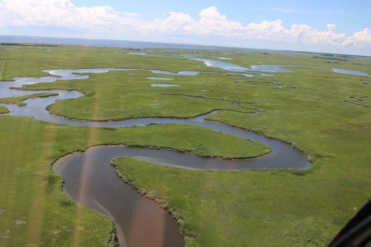
More bright green velvet.
|
| |
 |
|
| |
| |
 |
|
|
|
| |
 |
|
| Turning and burning. |
| |
 |
|
|
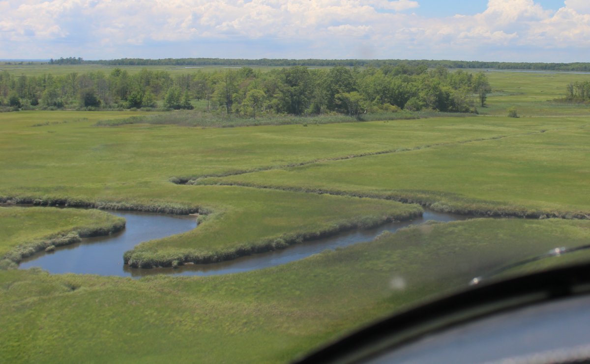
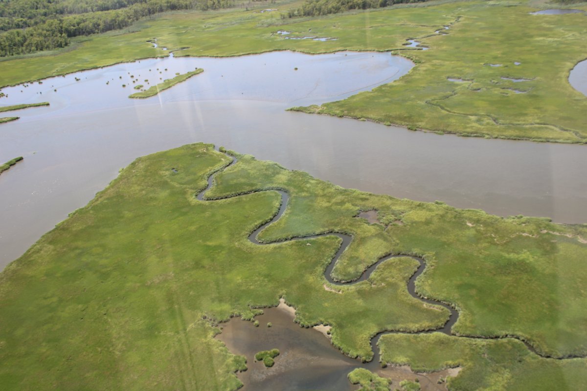
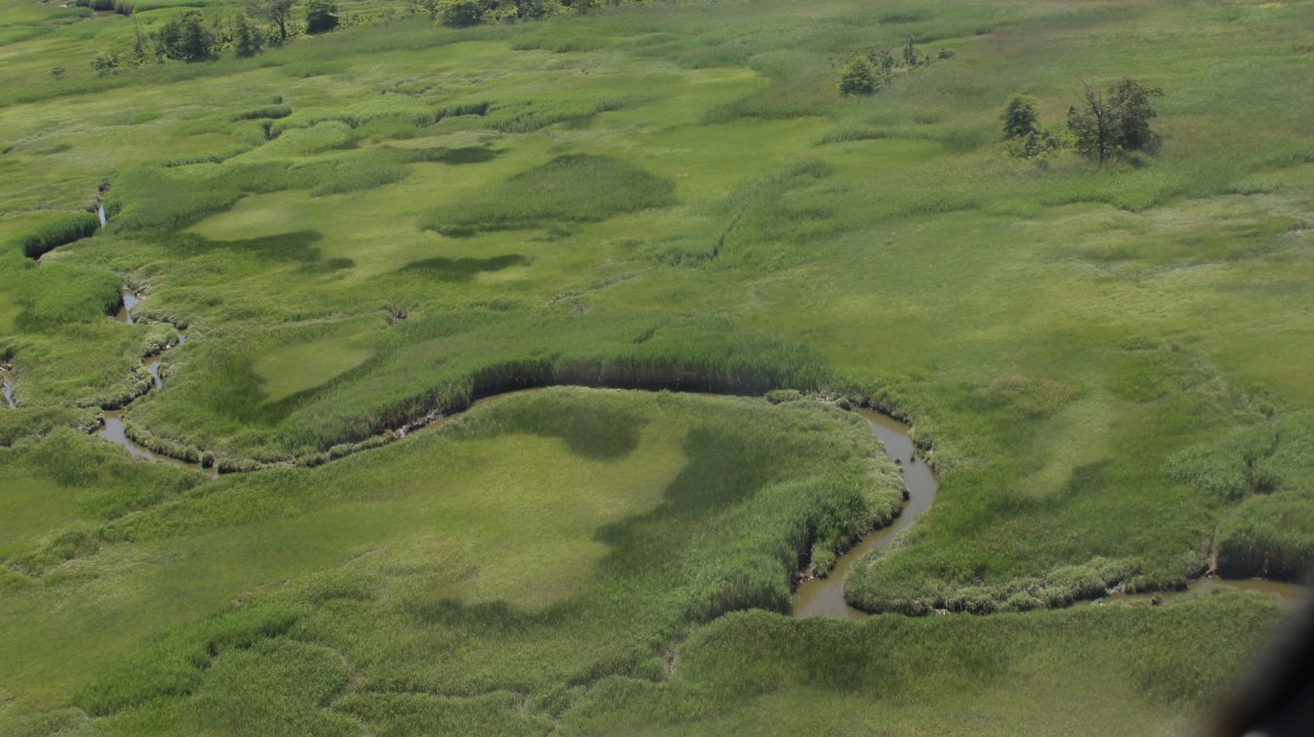
A squiggliy creek.
|
| |
 |
|
|
|
| |
 |
|
| |
| |
 |
|
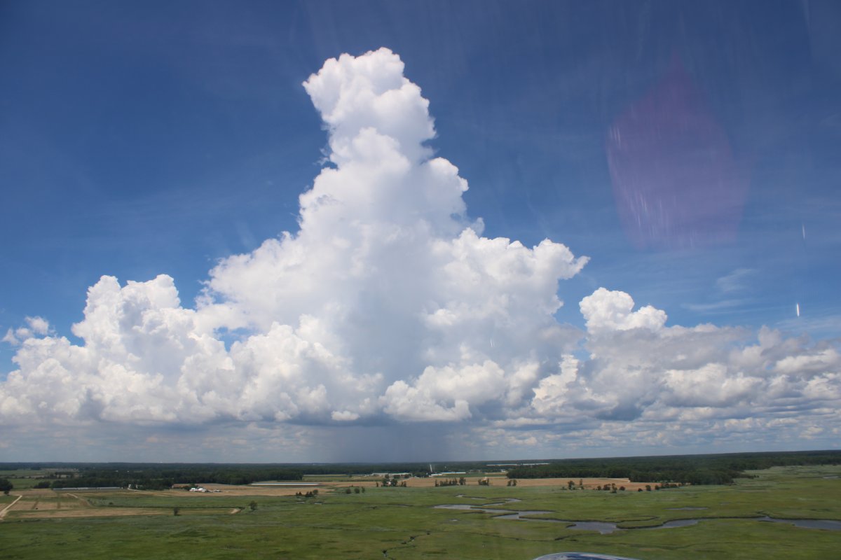
| Clouds are building this afternoon. Probably thunderstorms later on. |
| |
 |
|
| |
| |
 |
|
|
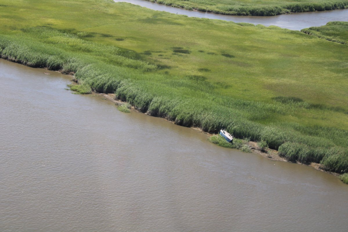
An abandoned sailboat.
|
| |
 |
|
| |
| |
 |
|
|
All too soon, I reach the Nuke Plant, and turn west, climb, and head for home.
|
| |
 |
|
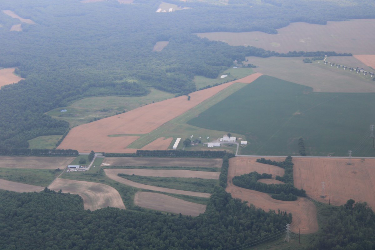
| I had a nice tailwind and was back in 20 minutes. Here I'm passing by Massey Aerodrome, a REAL grass-roots airport. |
| |
 |
|
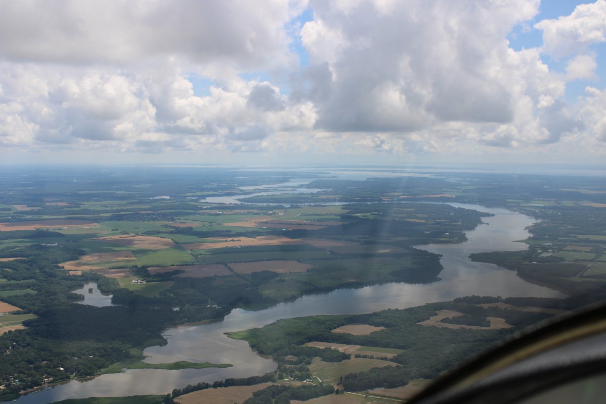
| Looking south down the Chester River. |
| |
 |
|
| A good shot of the Upper Chester River Sanctuary. |
| |
 |
|
|
Heading for Martin State Airport with a thunderbumper in the distance.
|
| |
 |
|
|
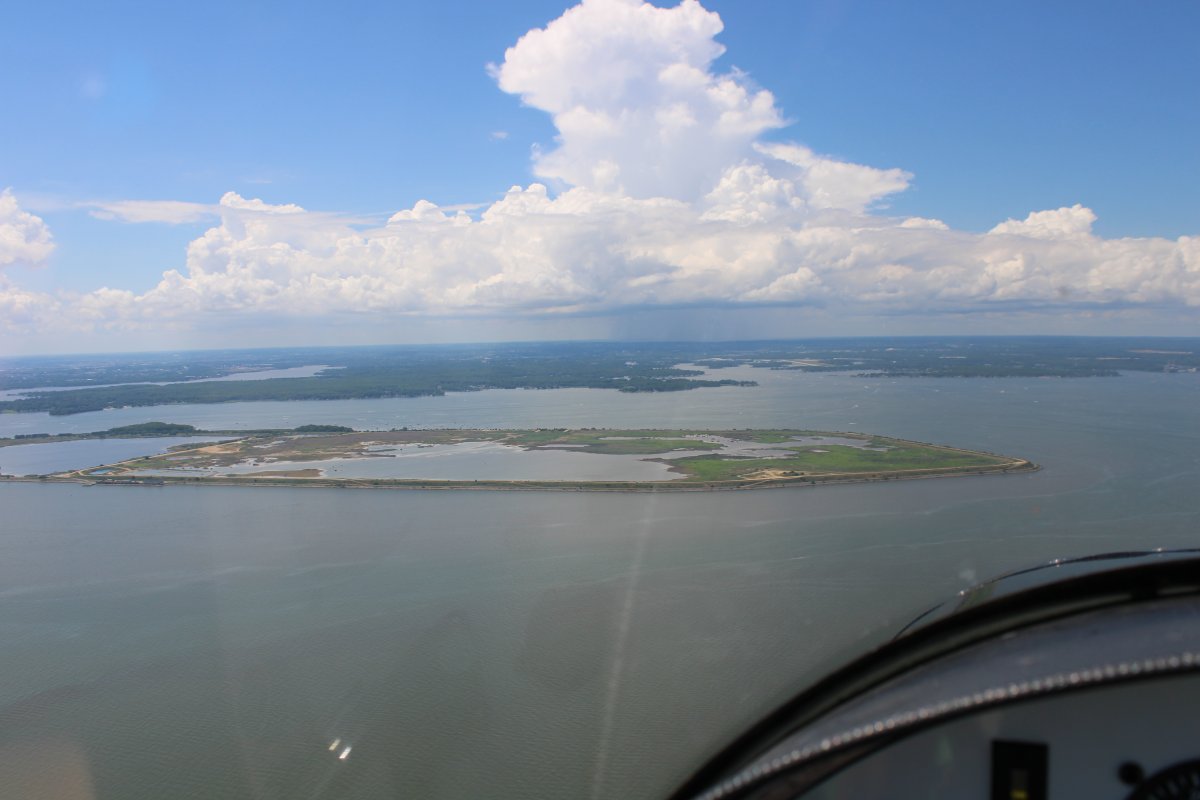
Passing by Hart-Miller Island which always has lots of boats on its west side where the nice sandy bottom is -- perfect for swimming.
What a great flying day today was! The RV's great speed made it possible. Love that plane. No other plane I'd rather have.
|
| |
 |
|
| |
| |
|
|
|
|
|
|